Beyond the Waterfront: The Hidden Nature Walks Locals Love but Tourists Miss
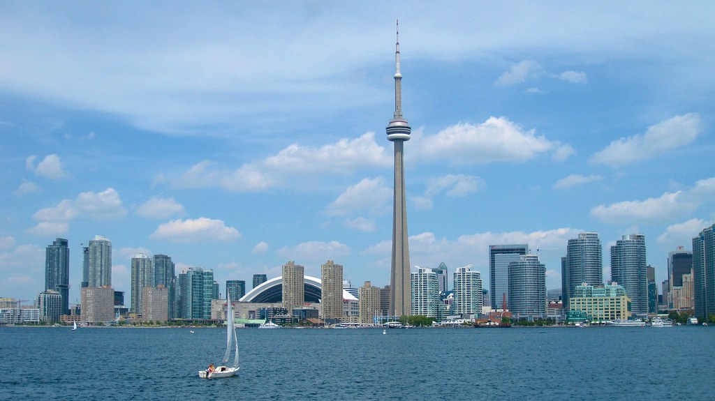
While visitors queue for the CN Tower, Torontonians are slipping into ravine corridors and forgotten creek trails that cut through the city like green veins.
While visitors queue for the CN Tower, Torontonians are slipping into ravine corridors and forgotten creek trails that cut through the city like green veins.

Toronto has 1,500 kilometres of ravine and trail network, more urban ravine land than almost any city its size on the planet. Most out-of-towners never see a metre of it. They walk the 56-kilometre Waterfront Trail, snap a photo at Sugar Beach, and go home. Meanwhile, residents who know the city's topography are ducking into places that feel nothing like a four-million-person metropolis.
That gap matters more right now than it used to. July heat in Toronto has intensified over the past decade, and urban green canopy has become a measurable public-health variable. Toronto Public Health's 2025 Heat Resilience Report flagged that neighbourhoods in the inner suburbs, Scarborough, North York, Etobicoke, have significantly less tree coverage than the downtown core, making shaded trail access a genuine equity issue, not just a fitness perk. The city's Parks, Forestry and Recreation division logged over 3.2 million trail visits in 2025, a 14 percent increase from 2023, driven largely by residents seeking free, close-to-home activity after years of rising recreational costs.
Start with the Lower Don Trail between Pottery Road and Riverdale Park East. Cyclists and runners use the main paved strip, but the dirt singletrack that forks west near Millwood Road is a different experience, canopied, quiet, and close enough to the Danforth that you can hear the streetcar if the wind is right. The trail connects to the Brickworks Farmers' Market at Evergreen Brick Works, open Saturdays from 8 a.m. to 1 p.m. from May through November. Park at Bayview and ride or walk the 1.2-kilometre path down rather than driving in, most visitors don't know it exists.
High Park gets the Instagram traffic, but the western edge along Ellis Avenue and the Grenadier Pond loop's southern bank stays largely empty even on summer weekends. The pond hosts great blue herons year-round, and the Sakura cherry blossoms in late April draw thousands, then the park empties again by June, leaving the Hillside Gardens Trail almost meditative. High Park is free to enter, 161 hectares, and accessible from Keele Station on the Bloor-Danforth line.
Less known still is the Scarborough Bluffs trail system running east from Bluffer's Park Marina to Cathedral Bluffs Park. The upper trail along the bluff edge in Scarborough Village has views over Lake Ontario that rival anything on the Niagara Escarpment, but the neighbourhood doesn't appear on most curated Toronto outdoor lists. The Doris McCarthy Trail, named after the Canadian painter who lived nearby, descends steeply from Midland Avenue to the lakeshore below. It is unmarked on Google Maps for much of its length. Locals know it by word of mouth.
The Toronto Bruce Trail Club maintains roughly 50 kilometres of side trails and connecting routes within the city, including sections through the Rouge National Urban Park in eastern Scarborough, the only national urban park in Canada, spanning about 79.1 square kilometres. A day-use permit is not required for most trail access inside the park's boundaries, making it one of the most genuinely cost-free outdoor destinations in Ontario.
The Toronto Field Naturalists, founded in 1923 and still active with a membership around 1,500, run guided walks in the Humber River Valley and Black Creek corridors through the summer. Their July and August walk schedule, posted at torontofieldnaturalists.org, includes early-morning bird surveys that start at 7 a.m. at spots like Lambton Park near the Old Mill. Suggested donation is $5 for non-members.
For anyone building a summer routine around these spots: download the City of Toronto's trail map PDF through the Parks, Forestry and Recreation portal before you go, cell service drops out entirely in the lower ravines near Weston Road and the Humber. Wear closed shoes even in July; the creek crossings near James Gardens in Etobicoke can be slick. And go on a Tuesday morning. The ravines belong to you then.
How does this story make you feel?
Spread the word
About this article
Published by The Daily Toronto
Daily brief
Free, in your inbox before 7am. Weekdays.
More in Wellness